An interdisciplinary team of Penn engineers and urban planners has taken an innovative approach to creating a drivable digital twin of Philadelphia’s Roosevelt Boulevard, a significant public health threat to the tens of thousands of people who use it each day.
2 min. read
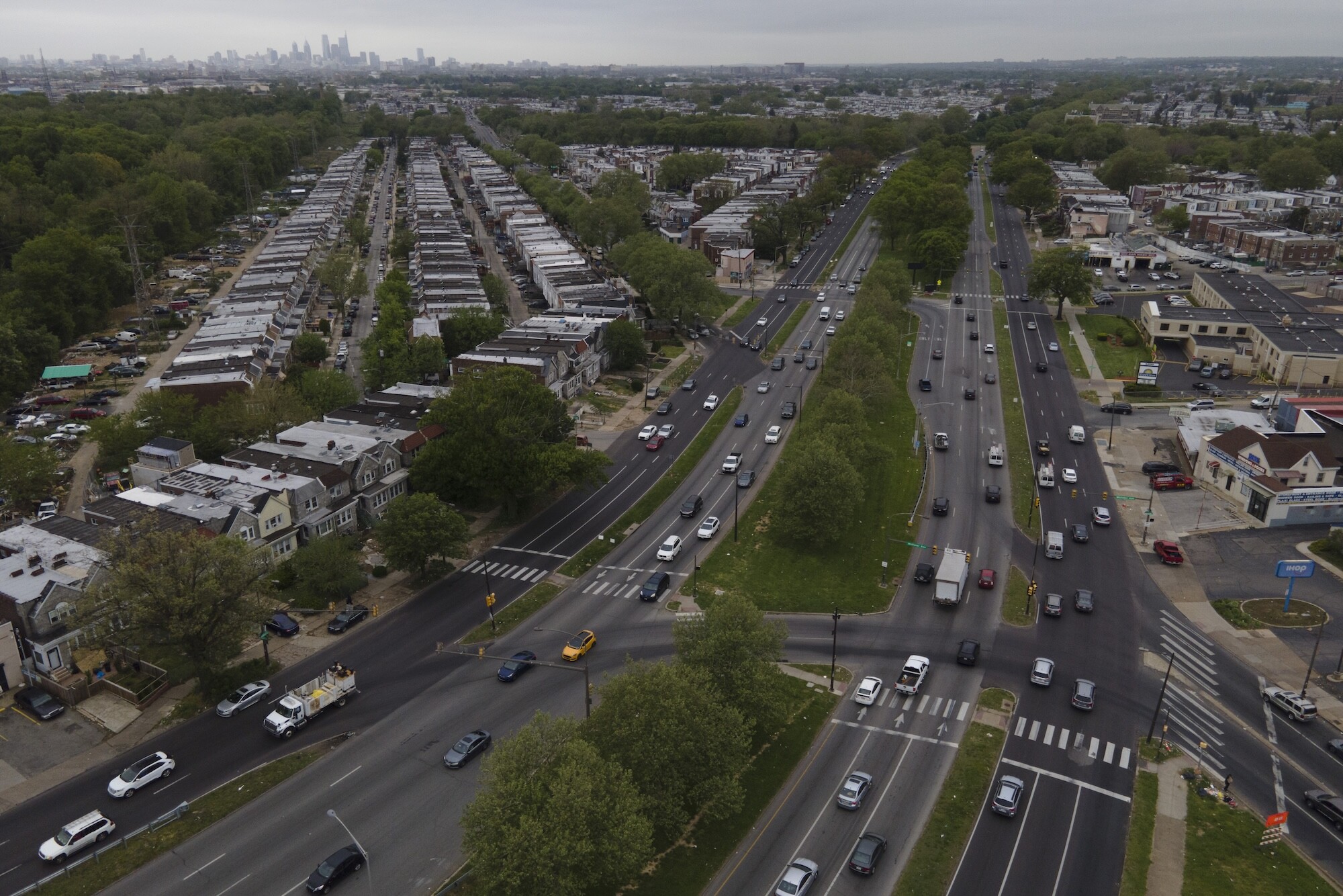
Philadelphia’s Roosevelt Boulevard.
(Image: Julio Cortez via AP Images)
Roosevelt Boulevard is a vital artery connecting North and Northeast Philadelphia, used by tens of thousands of people each day. It is as complex as it is iconic, with much of its length consisting of 12 lanes of moving traffic. It has 56 intersections with traffic signals, 94 unsignalized intersections with 129 access points, and 54 crossovers between inner and outer lanes.
As the site of frequent crashes, it poses a public health threat to those who use it. Between 2013 and 2017, it was the site of 2,946 crashes, resulting in 81 serious injuries and 62 deaths—or 14% of all fatal crashes in Philadelphia.
In 2021, the City of Philadelphia initiated a comprehensive, multiyear improvement program for the Boulevard called Route for Change.
“Traditional street redesign is hard because planning takes years, architects can only generate a few options, and evaluating long-term impacts on cost, safety, and throughput is difficult before construction,” says Mangharam. “To solve this, our transportation team has created StreetSavii—an AI codesigner and 3D digital twin of the Boulevard—that lets planners rapidly prototype alternate layouts and reliably compute safety, cost, and traffic outcomes before building them in the real world.”
The platform combines precise GPS coordinates, geospatial imagery, and 3D models of Earth using a combination of urban planning tools, including CityEngine and RoadRunner to accurately mirror actual driving conditions.
“We created a complete pipeline with precise and vivid drivable scenes and a traffic flow model that reflects different dynamic traffic conditions,” says Mangharam, pointing to the example of the rapid integration of a bus lane into the existing roadway system—a task that typically involves considerable time and resource commitments.
“By enabling rapid and accurate modeling of urban traffic scenarios, our approach aids in the efficient planning and safe management of urban roadways,” says Guerra. “As we move forward, the integration of more dynamic data sources and advanced modeling techniques will further enhance the utility and accuracy of digital twins, paving the way for their broader adoption in urban development and traffic management initiatives.”
Erick Guerra is a professor and associate dean of research at Weitzman.
Rahul Mangharam is a professor in the Department of Electrical and Systems at Penn Engineering. He is also a founding member of the PRECISE Center and directs xLAB: Safe Autonomous Systems Lab at Penn.
Helen Loeb is the founder and CEO of Jitsik.
Other authors are Rajnish Gupta of Penn Engineering; Ramon Diaz and Xiaoxia Dong of Weitzman; and Jaime Hernandez of Jitsik.
This work was funded, in part, by a grant from Safety21, University Transportation Center which provided support through the U.S. Department of Transportation.
On the move: Water quality and antimicrobial resistance testing goes mobile
Penn researchers have developed a mobile field laboratory allowing them to test water quality and track antimicrobial resistance in and around San Cristóbal in the Galápagos.
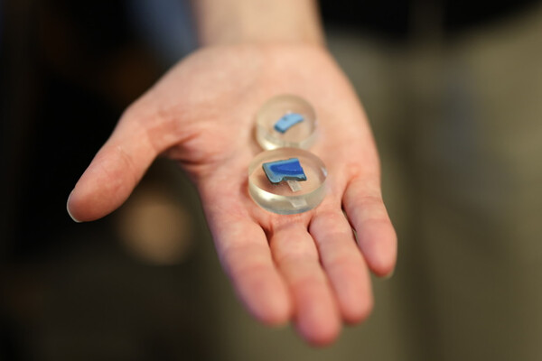
Penn researchers Vanessa and Alexis North are studying one of the largest collections of Egyptian blue objects ever found in the ancient Near East, shedding new light on how the world’s first synthetic pigment may have traveled far beyond Egypt.
A new role for dental providers? Rethinking where vaccines are given
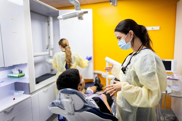
Vaccinations have traditionally been administered in primary care settings or pharmacies. However, for about a decade, some states have authorized dentists to administer vaccines, and many others did so during the COVID-19 pandemic. The effectiveness of this approach has led some countries and states to expand or consider expanding the role of dental providers in delivering routine vaccines, including those against COVID-19 and the human papillomavirus (HPV), and in providing vaccine education.
Penn student develops a way for computer chips to run more efficiently
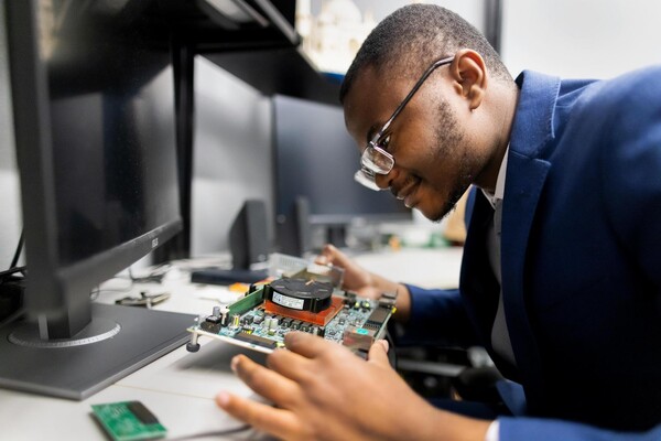
Fluid Silicon, a platform from President’s Sustainability Prize winner Nhlanhla Mavuso, allows computer chips to continuously monitor their health and self-tune as their characteristics change. The technology has the potential to reduce energy usage in data centers and improve reliability in mission-critical applications.